Drone-Based Laser Measurement Technology for Precise Gas Analysis Over Volcanic Fields
Researchers at the Technical University of Munich have developed a measurement system that detects volcanic gases using lasers and drones
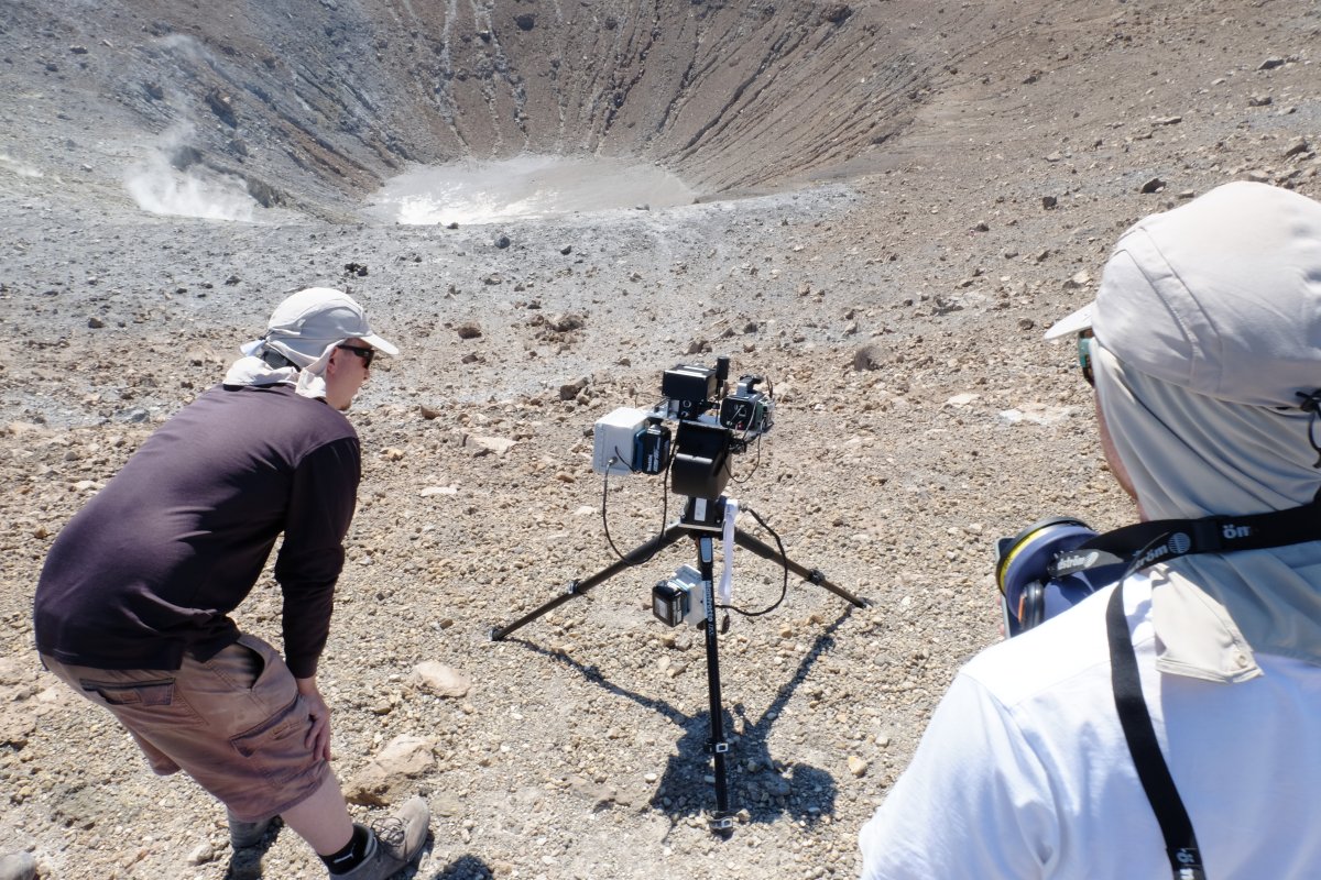
A ground-based laser is automatically aligned with a reflector on an aerial platform and beams through the gas clouds above active volcanic fields. The attenuation of the beam is measured up to 3,000 times within 10 to 15 minutes. An algorithm uses this data to calculate tomographic maps of gas concentration, taking local wind conditions into account. The focus is on the ratio of carbon dioxide to sulfur dioxide, which serves as an indicator of changes in magma activity.
Drones reduce interference from the ground and vegetation and increase the safety of measurement campaigns. At the same time, teams in Mainz and Heidelberg are working with onboard sensors and electrochemical methods to determine the gas composition directly in the volcanic plume, thereby better identifying precursors to eruptions.